Geospatial Information Technology System: Its Key Elements Revealed
A Geographic Information System (GIS) is a powerful tool designed to collect, store, manage, analyze, and visualize geographic or spatial data. These systems have become commonplace in various fields, from urban planning to agriculture, transportation, disaster management, and environmental monitoring [1][2][3][4].
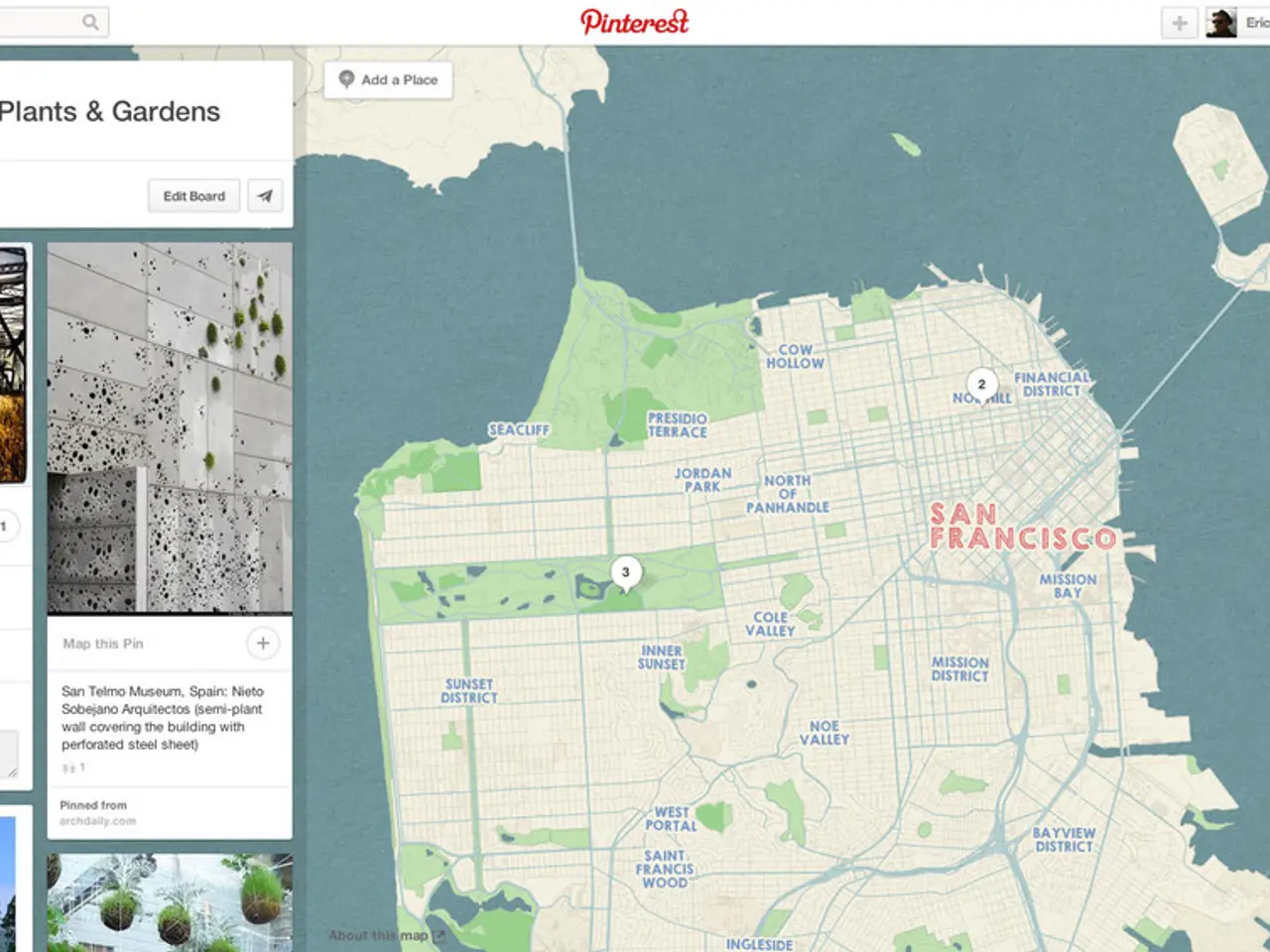
In urban planning, GIS is an invaluable asset. It allows planners to analyze and visualize urban growth patterns, population distribution, land use, and infrastructure needs. GIS is used for site selection of new facilities, zoning, managing public services, and optimizing city layouts to support sustainable development [1][4].
Agriculture is another sector where GIS shines. By monitoring crop health, soil conditions, moisture levels, and yield forecasting through satellite and drone data, GIS enables targeted irrigation, fertilizer application, and pest control to maximize productivity and sustainability [1][2].
Transportation is another area where GIS proves its worth. It aids in optimizing routes, managing traffic flow, and planning public transit systems. GIS helps coordinate logistics, improve fleet management, and reduce delivery times by analyzing geographic and real-time data such as traffic and weather patterns [1][2][4].
Disaster management is a critical application of GIS. In times of emergency, GIS is used for tracking disasters like floods, earthquakes, and planning relief efforts. It enhances resource allocation, risk modeling, and communication between responders and authorities, thereby saving lives and reducing damage [1][3][4].
Environmental monitoring is another significant application of GIS. It tracks natural resources such as forests, water bodies, and wildlife habitats. GIS supports conservation efforts, monitors environmental changes, manages protected areas, and assesses impacts of human activities on ecosystems [1][3].
GIS integrates multiple data layers—such as demographics, infrastructure, natural resources, and real-time inputs—to enable spatial analysis and informed decision-making across various fields [1][2][3][4]. The systems include both spatial data (maps, coordinates) and attribute data (details like name, population).
Since it deals with real-world scenarios, GIS data must be frequently updated to stay relevant and reliable. Types of GIS data include raster data (images) and vector data (points, lines, polygons). Examples of software used in a GIS system include ArcGIS, QGIS, and ERDAS Imagine.
The physical devices used to run GIS software and process spatial data are referred to as hardware. Examples of hardware used in a GIS system include computers, servers, GPS devices, and scanners.
Users and experts who design and use GIS systems include GIS analysts, developers, and decision-makers. Much of the information in a GIS is context-specific and requires tools for efficient retrieval and interpretation.
In addition to these primary applications, GIS also finds use in navigation & routing. It is used for GPS, traffic maps, and logistics. These applications demonstrate how GIS integrates multiple data layers to provide valuable insights and support informed decision-making.
References:
[1] Esri. (n.d.). What is GIS? Retrieved from https://www.esri.com/en-us/gis/overview/products/arcgis/what-is-gis
[2] National Geographic Society. (2021). Geographic Information System (GIS). Retrieved from https://www.nationalgeographic.org/encyclopedia/geographic-information-system-gis/
[3] United States Geological Survey. (2021). GIS Basics. Retrieved from https://www.usgs.gov/faqs/what-gis-basics?qt-news_science_products=0#qt-news_science_products
[4] The World Bank. (n.d.). Geographic Information Systems (GIS). Retrieved from https://www.worldbank.org/en/topic/geospatial/overview
In the realm of science and technology, GIS system design plays a crucial role in education-and-self-development, particularly in fields such as urban planning, agriculture, transportation, disaster management, and environmental monitoring. The science of GIS has been instrumental in integrating multiple data layers for efficient spatial analysis and decision-making. However, the effectiveness of GIS relies on the continual advancement and updating of technology, including trie-based data structures for data management and retrieval.


